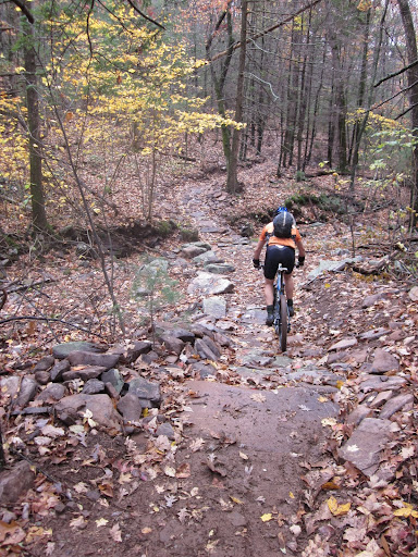
Camp Todd Reroute

One of the projects on the SVBC DCR grant is the reroute of the Wild Oak Trail as it comes down Horse Trough Hollow and crosses the North River. The current interface brings the trail straight down to the North River where it drops down steep embankments to the water and then goes through Camp Todd. Sometimes the water level in the North River is very high making the trail on the other side nearly impossible to access. This has caused people to either avoid this section of the Wild Oak Trail in the winter when it is too cold to get wet or caused them great discomfort. Only a quarter mile upstream Forest Service Road 95 crosses the North River via a sturdy, road grade bridge. It is after this bridge where the new trail head meets Forest Service Road 95. Don’t worry, the old trail will remain open for those who want to ford the North River. This reroute will provide a dry crossing for this ever popular shared use trail.


3 Responses
looks like some great trail built by the Trail Dynamics crew. I’d like to see that creek crossin’ in action with water.
This comment has been removed by the author.
Was able to answer a question in my previous comment by reading all the narrative.
Looks great. Definitely will be checking it out this fall/winter, along with the work at Wolf Ridge I’ve been reading about.
Also, while riding the GWNF this past summer I’ve seen numerous trails (Lower Slacks at Sherando, Hankey/Dowells Draft, and Bald Ridge/Braleys) with pink surveyor stakes noting what appears to be trail modifications to be performed. Are these part of this program? What is the timeframe for this work? Thanks for any information.